After battering chunks of North America, Hurricanes Irma and Harvey have swept flood risk and disaster preparation into the national spotlight.
For Metro Vancouver, the question isn’t if but when the next big incident will happen.
Kees Lokman, a University of British Columbia landscape architecture professor, explained Metro Vancouver has many areas at or near sea level, in coastal floodplains, in deltas or near the Fraser River, putting them all at risk for flooding. This includes critical infrastructure like the Port of Vancouver and the Vancouver International Airport.
Lokman said climate change won’t only bring more frequent and large storms, but the sea level is expected to rise by one metre by 2100 — a projection he noted is actually quite conservative. He believes Metro Vancouver is in desperate need of co-ordinated efforts to prepare for these changes and noted the closest thing to this is the Fraser Basin Council, which aims to unite these separate efforts but they have no mandate.
Lokman said there must be better collaboration between the municipalities and major asset owners in terms of planning, financing and the implementation of flood management strategies. For this the provincial and federal governments have to play a stronger role.
One of the main things Metro Vancouver can do is identify critical infrastructure like powerlines, watermains and sewage channels so they can be protected and cities must start considering where they put buildings like schools or hospitals.
"The new site of Emily Carr University of Art and Design is going into a low lying area," Lokman said. "We have to think about if this is the right area to build a school."
Lokman said watching coverage of Hurricane Irma and Harvey, the lesson is clear.
"We shouldn’t build so much in the floodplains," he said.
"We are already seeing a lot more people in these coastal areas, living in areas we shouldn’t be developing. Any city would have had an issue with that much rain, but if you are building so much in the floodplain it is really exacerbating it."
Lokman explained these decisions have "cascading effects."
"Developers, policy-makers, design practices, all of these are extremely important and those conversations are not happening at that scale," he said.
In Lokman’s home country of the Netherlands, it took major flood disasters in the 1950s and 1990s to push officials to make changes.
A hydro model was made of the entire country to develop the "Room for the River" program.
"It included 39 sub projects," said Lokman. "They are all co-ordinated and integrated to store excess water upstream so downstream dykes don’t have to be so high."
To better understand the region and its disaster preparedness needs, Lokman recently secured funding from Mitacs, a non-profit that funds researching and training, for a three-year project.
Lokman and his team will work to establish a collaborative platform between academics, local practitioners and subject matter experts to develop adaptation strategies for those areas in the region most vulnerable to future flooding.
The team will analyze the region as a whole, identify risk areas and then approach government with innovative solutions. The team also intends to incorporate their findings into public education pieces about flood risk perception and water systems.
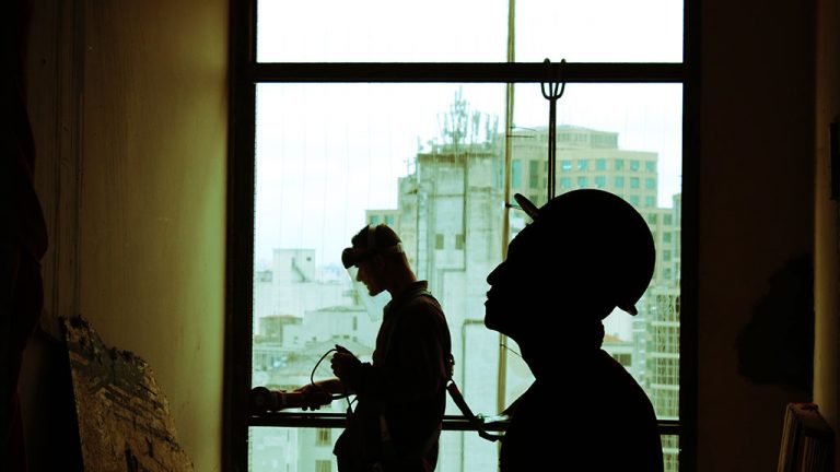
And the construction industry has a big role to play in the move towards better flood infrastructure and planning.
"I think in some ways this is a major business opportunity for construction because we need new types of building practices," said Lokman.
"We will have to change that and I think building technology, engineering and architecture, they all have a role to play in this. It’s major opportunity for all of us to step in and to step up. I think that’s really exciting in a way. We have to be at the forefront of this because if we have to wait for policy to kick in, it will be too late."
The recent extreme weather has the attention of the City of Vancouver.
The city announced this month that in partnership with SFU’s Adaptation to Climate Change Team, and other groups, they will co-host a free lecture series featuring local and international experts on sea level rise, the science behind it, what to expect globally and what communities can do about it locally.
"This year’s devastating forest fires, deterioration of air quality across the province and extreme weather events are a foreboding reminder that the impacts of climate change are a real and present danger to Vancouver," said Mayor Gregor Robertson in a press release.
"The massive costs and damages from flooding due to sea level rise can’t be ignored. Vancouver is taking proactive steps to protect our land, environment, people’s homes and iconic landmarks from the impacts of sea level rise, and I’m looking forward to hearing more from international experts in the coming months to help the city up the ante on how we prepare and plan for climate change impacts."
Recent Comments
comments for this post are closed