It seems new uses for drones, or unmanned aerial vehicles (UAV), are being found in the construction industry every day. In road building, one of the most recent applications is the measurement of material volume.
For example, drones can be used to calculate the volume of road excavations and the amount of material in sand and gravel pits.
"The traditional method of open pit volumetrics required a surveyor on the ground who would measure elevation every five to 10 feet on each pile," said Chris Cambon, a UAV instructor at the British Columbia Institute of Technology (BCIT) in Burnaby. "The process could take a whole day on a large gravel pit. A drone can accomplish this task much more accurately and faster, usually in 30 minutes or less."
The modern way to measure volume using a drone begins with the operator doing a visual survey of the site to determine if there are any potential safety problems.
Next, ground station software creates a mission plan by laying a grid of waypoints (co-ordinates that identify a point in physical space) over the area that the software is going to analyze.
"The drone, which in most cases is fixed wing, is then launched by hand or by catapult," said Cambon.
The drone flies the grid at a height and speed that has been pre-programmed by the operator.
"A camera in the payload area pointed straight down captures images that are triggered at specific intervals to achieve 30 per cent to 70 per cent overlap (of the ground below)," said Cambon.
At the end of the mission, the drone returns to its launch area and the image data from the camera is downloaded to a computer where the volumetrics are automatically calculated.
Cambon said some survey companies have started to offer a service in which the image data that has been captured is uploaded to the Cloud in real time during the flight.
The system then builds digital terrain models and three dimensional models that are used in the calculations.
"By the time the drone lands, much of the data is already available," he said.
In addition to measuring volume, UAVs have other applications in the road building and construction industries.
They include surveying and planning, lead line/cable delivery and thermal mapping to determine heat loss.
Not surprisingly, there is growing demand in the construction industry for employees who can operate UAVs, Cambon said.
"During the recent DroneFair 2016 event we hosted, I had numerous requests from industry folks wanting to hire BCIT grads immediately in such fields as mapping, surveying, site inspection and wildlife management," Cambon said.
As a result of the inquiries, BCIT decided to offer a 10-week, web-based course called an Introduction to Unmanned Aerial Vehicles.
"The real push for BCIT came from employers asking that students have some sort of UAV training as part of their skill set, especially in the area of geomatics," said Cambon. "So we knew we had to create some formal training."
Topics in the introductory course include the different types of UAVs, the Canadian Aviation Regulations for UAV operation and associated safety measures, hazard risk assessment, operator roles and responsibilities, mission and operational planning, and UAV systems, flight controls and components.
Cambon expects there will be plenty of jobs for UAV operators in the future.
"The demand for operators is expected to grow at a rapid rate over the next five to 10 years, as more and more applications are discovered and as advancements in technology make UAVs safer and more efficient," he said.
Cambon said UAVs are being developed now that will be used in the construction process by carrying payloads to heights and locations that can’t be reached by crane.
"They could also carry out construction in hard-to-reach places, such as between buildings or on work sites without access to the street," Cambon said. "The only obstacle at the moment is limited payload, but new battery technology (to power drone rotors) and larger UAVs can resolve this."
Dave Rutherford, the head of the Geomatics Diploma and Degree Programs at BCIT, said UAVs in the future will carry LiDAR (Light Detection And Ranging) surveying technology, which measures distance by illuminating a target with a laser light.
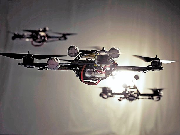
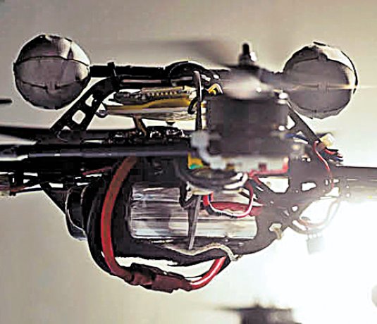
Drones could benefit those in the construction industry by providing a different angle and view of various aspects of a site. In road building, one of the most recent applications is the measurement of material volume.
Photo: Basil Stuecheli"


Recent Comments
comments for this post are closed