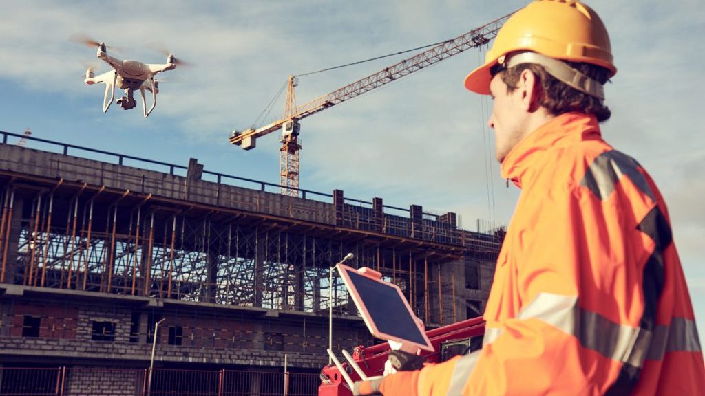
Aerial drones are remote controlled flying devices that are equipped with cameras and various data collection capabilities.
B.C.’s Ministry of Transportation and Infrastructure (MOTI) says drones, also called unmanned aerial vehicles (UAVs), are just the device it needs.
Although the ministry’s head office is in Victoria, much of its work takes place in rural areas, of which there are plenty in Canada’s westernmost province.
Most of B.C.’s population is concentrated in and around Vancouver and Victoria. The rest of the province is trees, mountains and rivers, with the occasional population centre here and there.
So aerial drones really do come in handy for organizations like MOTI, with large responsibilities and finite budgets.
There are two main types of drones: quadcopter UAVs, which move like helicopters, and fixed-wing vehicles, which move like airplanes.
MOTI says both types make its work safer and more efficient.
“The ministry has 14 UAVs, of which 13 are quadcopters and one is fixed-wing,” says Trevor Key, geomatics survey project supervisor and MOTI operations manager. “And soon we’ll be adding another quadcopter.”
The drones are distributed throughout the province.
To operate the vehicles, the ministry has 26 trained pilots, of whom five are senior pilots.
Key says MOTI has a variety of uses for its drones.
The ministry’s design and survey people use them for photogrammetry, which means taking measurements from aerial photos that are geometrically corrected so that the scale is uniform.
Geometrically corrected aerial photos are called orthophotos.
An orthophoto captured by a moving drone is made up of many images of the ground immediately below.
Advanced software stitches these images together so that, much like a map, the scale is not distorted.
A standard aerial photo, on the other hand, has a perspective that is determined by the location from which it is taken.
As a result, distant objects will appear smaller compared to objects that are closer to the camera.
In addition to taking orthophotos, the ministry’s survey drones can also capture data to create a high-density point cloud, which is a set of three-dimensional points that represent the surface of a scene and that have correlating colour.
“MOTI has used aerial drone surveys on many road design projects in northern B.C.,” says Key.
Projects include redesigning paint lines on Highway 37 between Terrace and Kitimat; surveying a culvert washout on Highway 29 between Chetwynd and Tumbler Ridge; and surveying new refuse sites near Dease Lake and Good Hope Lake.
Key says MOTI also finds drones valuable in project management.
Aerial photos enable project managers to monitor construction and site conditions to ensure everything is proceeding smoothly and to be able to inform the public about a project’s progress.
Recent examples of project management in northern B.C. where MOTI’s drones were used are the creation of artist renderings for the Parsnip Bridge replacement on Highway 97, and the construction of the Cluculz Lake passing lane on Highway 16.
In addition to surveying and project management, MOTI uses drones for emergency response, avalanche control, environmental rehabilitation and material inventory.
How drones are used varies across Canada, says Lukas Montani, managing owner of The Sky Guys in Vancouver.
“In B.C., they’re used a lot in forestry, rural highways and infrastructure, and residential and commercial construction in the Lower Mainland and southern Vancouver Island,” says Montani. “In Alberta, you’ll find drones in oil and gas and utilities. In Saskatchewan and Manitoba, they’re used in agriculture. In central Canada, they have a wide variety of uses, reflecting the diversity of the economy and the size of the population.”
Colin Filliter, operations manager of SuavAir on Vancouver Island, says drones will be used more widely in the future.
“The market for drones is more accepting than it was in the past,” Filliter says. “Five years ago we had to explain to our clients what drones were and what they could do. Now they already know.”
Filliter says new waterproof drones are coming onto the market – a boon for rainy coastal B.C. – as well as cameras that can do thermal and regular imaging at the same time.
Eric Saczuk, an instructor in geomatics engineering at BC Institute of Technology, says drones are becoming smaller and more powerful.
“In the future, there will be more powerful batteries so that drones can stay aloft longer,” he says. “Right now, batteries are about half the weight of the drone itself.”


Recent Comments
comments for this post are closed