Waterfront Toronto is working with the Clinton Climate Initiative and consulting engineering firm Arup on custom-built software designed to form urban planning strategies. Officials gave details at the Greenbuild conference in Toronto on the Integrated Resource Management (IRM) software, designed by Arup.
Waterfront Toronto is working with the William J. Clinton Foundation and consulting engineering firm Arup on custom-built software designed to form urban planning strategies near the shore of Lake Ontario.
Funded in part by the Ontario Power Authority, the goal was to create a computer tool to predict carbon dioxide emissions if areas were developed in certain ways, said Seth Schultz, director of the Climate Positive Development program for the Clinton Climate Initiative.
Schultz spoke in a conference session, dubbed “Know Before You Build: Carbon Profiles of Large-Scale Mixed Use Development” at the recent Greenbuild conference and expo at the Metro Toronto Convention Centre.
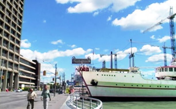
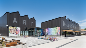
Waterfront Toronto is using the first version of the software, dubbed Integrated Resource Management (IRM) to decide on strategies for developing the West Donlands area, located on former industrial land northwest of the mouth of the Don River at Lake Ontario.
Although Waterfront Toronto normally procures land 10 to 15 years ahead of development, the West Donlands will be developed sooner because it will be the site of the Athletes’ Village of the Toronto 2015 Pan/Parapan American Games. It will consist of about 6,000 new residential units and 9.3 hectares of parks on 32 hectares of space.
After the Games, the Ontario government plans to use some of the homes for rent-geared-to-income housing and offer others for sale.
“We had just won the Pan Am bid, which meant there was an accelerated development schedule now for that precinct,” said Lisa Prime, director of sustainability for Waterfront Toronto, during the conference session.
Another panelist was Adam Friedberg, senior sustainability consultant at Arup. He said IRM helps designers and planners make decisions “that influence the big picture” of urban planning, and to understand the environmental impact those decisions have, including carbon dioxide emissions.
The software has a total of about 16,000 calculations, so planners can input strategies, such as land use, waste, wastewater, number of residents and gross square footage. IRM then calculates performance indicators including greenhouse gas emissions and energy use. It is designed let planners compare the consequences of different scenarios and land use plans.
“We really didn’t understand our carbon footprint very well,” Prime said. “We had done a little bit of work on carbon footprinting but not a lot. This tool told us the carbon story for that precinct, good or bad.”
Waterfront Toronto is the only Clinton Climate Initiative partner using IRM right now, but Schultz said three of the 16 other partners are interested in a second version, which he hopes will be available by March 2012.
Waterfront Toronto was formed in 2001 by the federal, provincial and municipal governments with a mandate to oversee the redevelopment of 800 acres of brownfield space, with the intent of building 40,000 residential units, a million square metres of employment space and 300 hectares of parks and public space. It has environmental requirements above and beyond the building codes, including the requirement to get a gold rating under the Leadership in Energy and Environmental Design (LEED) standard.
Prime said the agency aims to raise its standards in the future, using the data from IRM.
Arup, Waterfront Toronto and the Clinton Climate Initiative are also working with the University of Toronto civil engineering professor Eric Miller to study transportation patterns.
During the Greenbuild conference session, Miller said when calculating the carbon dioxide impact of travel, people often put in “aggregate rough guesses of energy use per person.”
However, he wanted to go a step further by providing a model, produced by the University of Toronto, to compute the actual energy use attributable to transportation for people who would live in the West Donlands after they occupy the Athletes’ Village homes.
The data was based on part on census surveys, and is used in IRM to estimate where residents would travel, how many would drive and how many would take transit.
Schultz said the IRM found a high amount of carbon dioxide emissions associated with the residential development in West Donlands, and the tool will let them figure out where the emissions are coming from, so they could change planning strategies.
“Do we need another transportation opportunity? Is it light rail?” Schultz asked. “Do we need more biking and walking? Do we need to think about balancing or rebalancing the load of residential and commercial? Do we need to provide more jobs on site so there is less need to travel, et cetera?”


Recent Comments
comments for this post are closed